
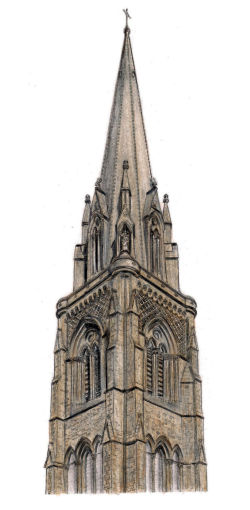
Drawing of spire of St Mary's Cathedral, Great Western Road
Welcome to this exploration of the architecture, heritage and history of the west end of Glasgow.
Glasgow's west end was primarily a Victorian creation, with the development of most of the well known districts coming after the establishment of Great Western Road which was authorised by an Act of Parliament in 1836. This was the year before Queen Victoria acceded to the throne at the age of 18. The area had been totally transformed by the end of her reign in 1901.
The new road ran in a straight line through mostly virgin territory from St George's Cross to Anniesland Toll. A guided tour of interesting places and buildings along the route can be seen at the Great Western Road page of this site.
Start of Great Western Road at St George's Cross, with the familar spires in the distance
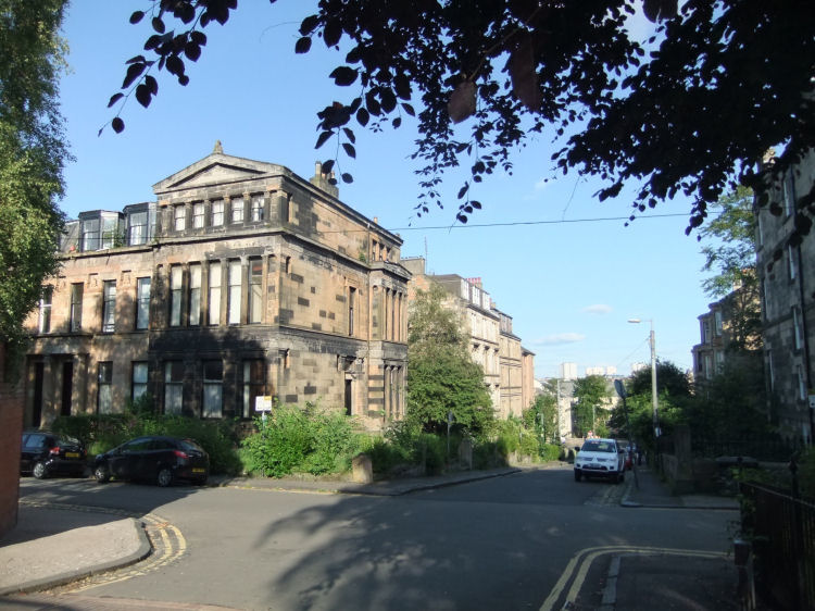
The district of Hillhead takes its name from Hillhead House which was occupied by local landowners, the Gibson family. The mansion sat upon a hilltop facing a steep decline to the south-east towards the River Kelvin, and to the west towards what is now Byres Road. End bay of Alexander "Greek" Thomson's Eton Terrace, on the slope from Hillhead down to the Kelvin
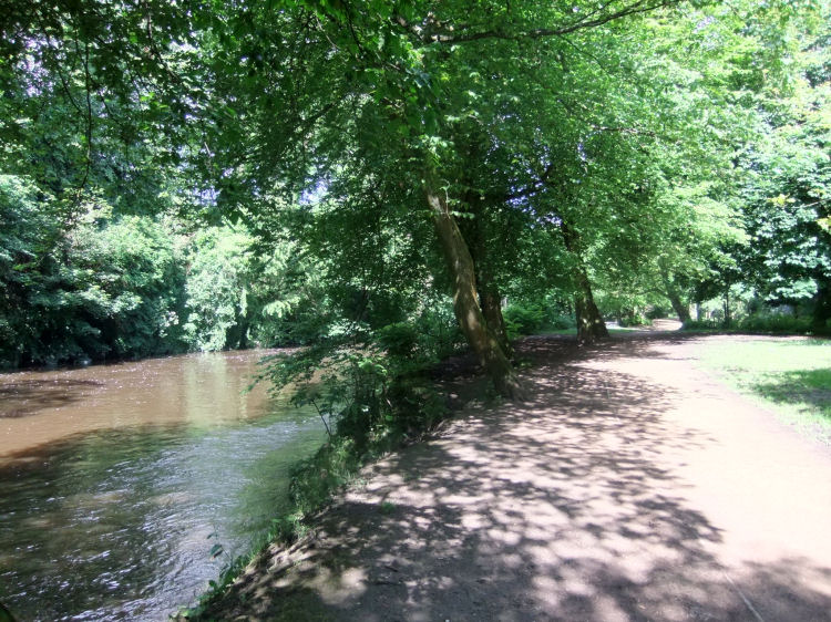
Glasgow's west end is dominated by the River Kelvin which flows through many of its suburbs. This site features an illustrated guide to the Kelvin Walkway which passes some very interesting and picturesque sights.
River path on Kelvin Walkway
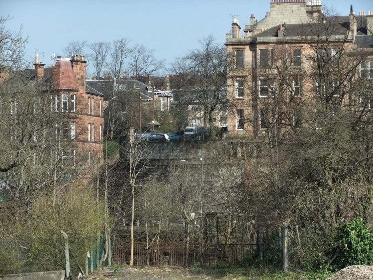
One of Glasgow's much peddled modern myths is the tale of "Alexander Greek Thomson's Sixty Steps", for which there is absolutely no historical backing. The notion that there was any involvement by the famous architect is an interesting fantasy. Site of dismantled Walker's bridge, approaching the huge wall and the "Sixty Steps" in North Kelvinside.
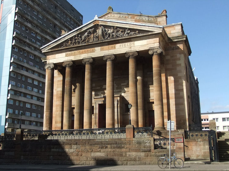
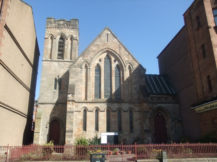
The districts of Woodside and Firhill are home to Charles Rennie Mackintosh's Queens Cross Church and Jack Coia's modernistic inter-war church of St Columba. View of the frontage of St George's in the Fields Church in mid-day sunshine
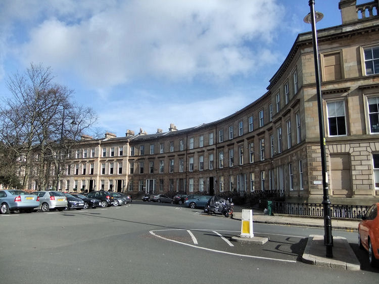
The Park District provides office space near the western fringes of the city centre. It is was created as a planned development, reminiscent of the Georgian new town in Edinburgh. View of the northern side of Park Circus
The oldest surviving district of the west end, which pre-dates all the Victorian suburbs, is the former burgh of Partick, which can be dated back to the time of the ancient kingdom of Strathclyde.
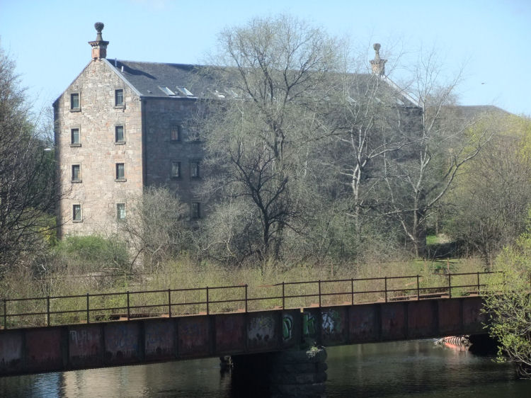
The Partick page features many archaic structures as well as the civic buildings dating from the time when the district was an independent burgh. View of Bishop's Mill, Partick, now converted to flats
Partick and the adjoining area of Dowanhill have so many churches that a special Dowanhill and Partick Churches page has been dedicated to their discovery and exploration. Partick Methodist Church
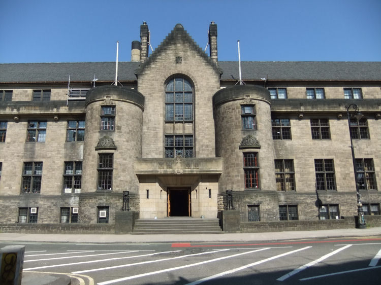
Glasgow University Union, erected in 1931 at the foot of University Avenue
It is a continually expanding study, intending eventually to cover most of the significant buildings and landmarks in the various suburbs of the west end.
The initial development of the suburb was centred on Hillhead Street, which connected Great Western Road to the mansion house on the brow of the hill. Hillhead House was vacated by the last of the Gibson dynasty in 1861 and demolished in 1875. An extensive exploration of Hillhead can be viewed in a dedicated page.
For the true story, backed up by contemporary historical sources, you should visit the North Kelvinside page which outlines how the bridge, wall and steps were all part of John Ewing Walker's trickery at the time of the initial development of the area in 1869/ 1870.
The whole area contains a fascinating mixture of old and modern buildings situated side by side, illustrated below by the tower block seen in the background of the former church of St George's in the Fields, which dates from 1886.
The adjacent West End Park, now known as Kelvingrove Park, was laid out at the same time by the celebrated landscape gardener, Sir Joseph Paxton.
The area has a number of landmark towers including those of Trinity College and the white steeple of Park Church which was retained after the church building was demolished.
Partick was a great milling centre, providing the city of Glasgow with much of its daily bread. Surviving buildings of that era include the former Bishop's Mill, illustrated below.
Partick Methodist Church, shown below, was built on a gap site in Dumbarton Road between tenement blocks.
![]()
 | |
|
|
|
|
|
|
|
| |
|
| |
|
|
|
|
|
|
|
|
All original artwork, photography and text © Gerald Blaikie
Unauthorised reproduction of any image on this website is not permitted.
