
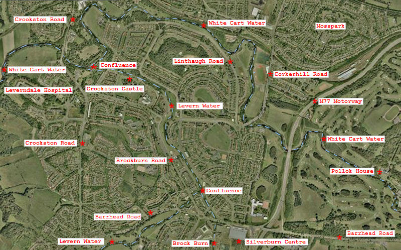
Welcome to this exploration of the three main rivers which flow through Glasgow's southwestern suburbs, the White Cart Water, Levern Water and Brock Burn.
Aerial view of the water courses in Southwest Glasgow
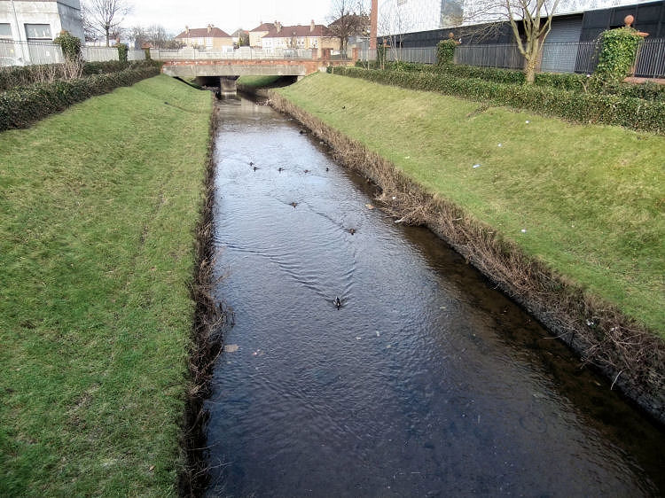
Canalised section of Brock Burn flowing past Silverburn Shopping Centre (right) towards bridge at Barrhead Road
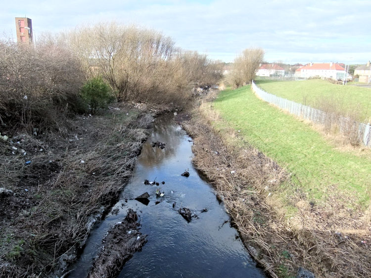
View of Brock Burn between Barrhead Road and confluence with Levern Water, near Pollok Fire Station
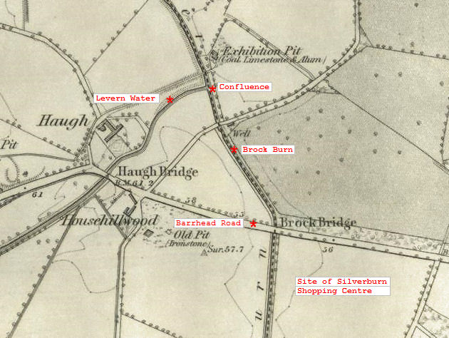
1850's map showing confluence of Levern Water and Brock Burn
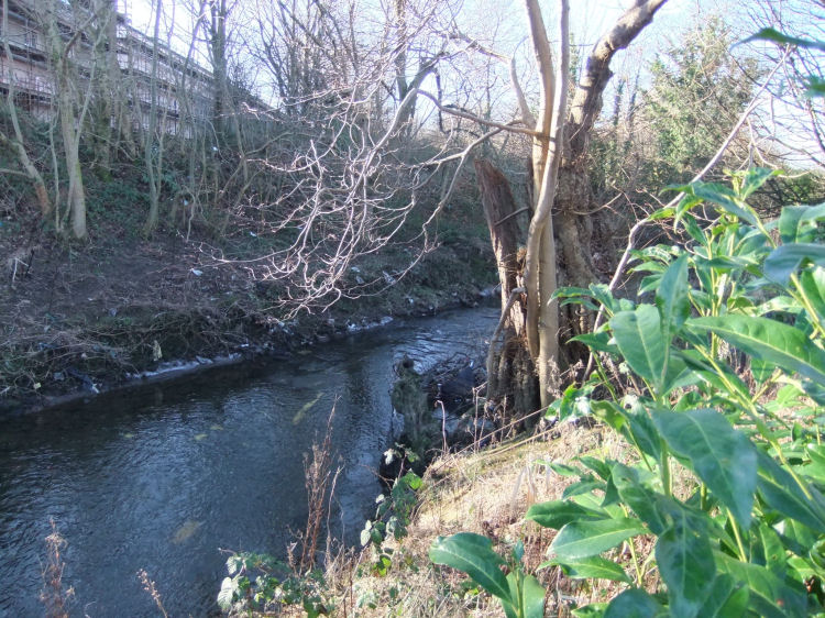
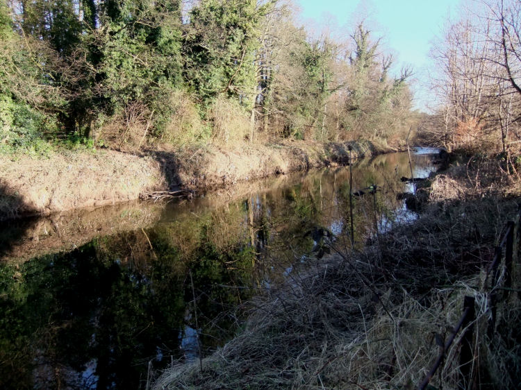
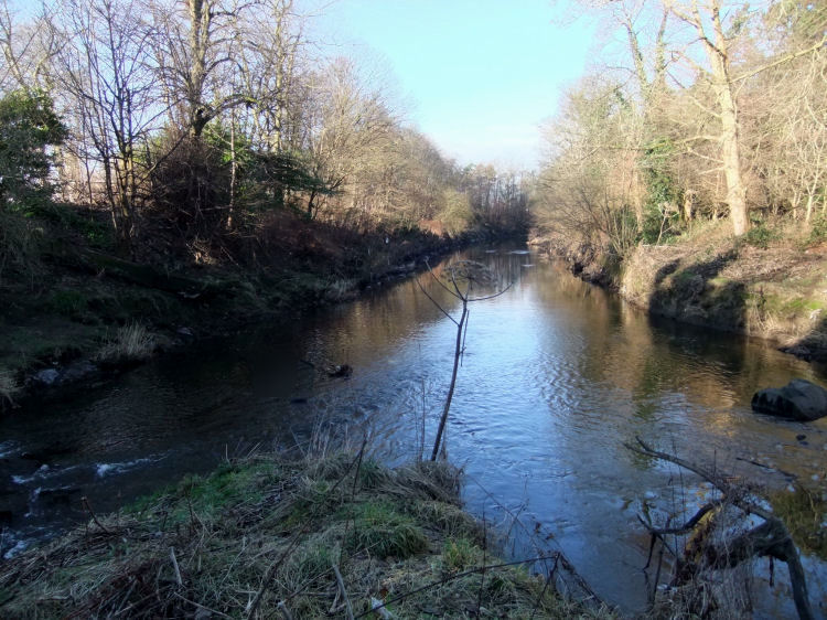
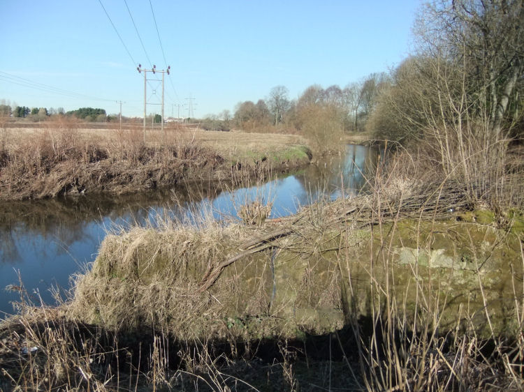
Some winter greenery beside Levern Water near Nitshill, before it takes in the Brock Burn
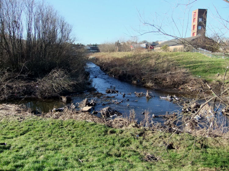
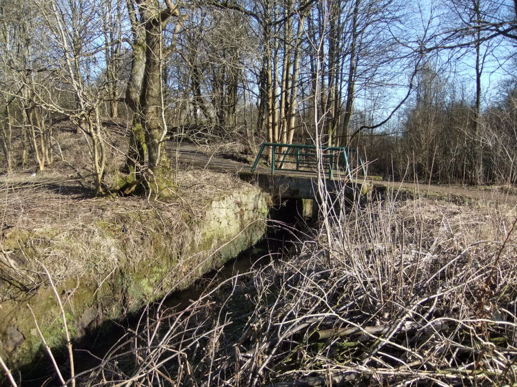
After flowing past Pollok Fire Station the Brock Burn becomes part of Levern Water
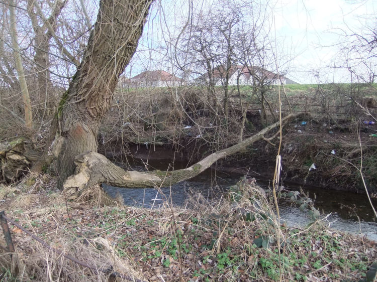
Tree forming improvised bridge across Levern Water
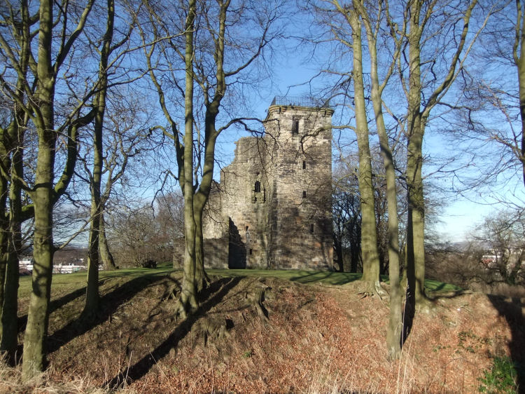
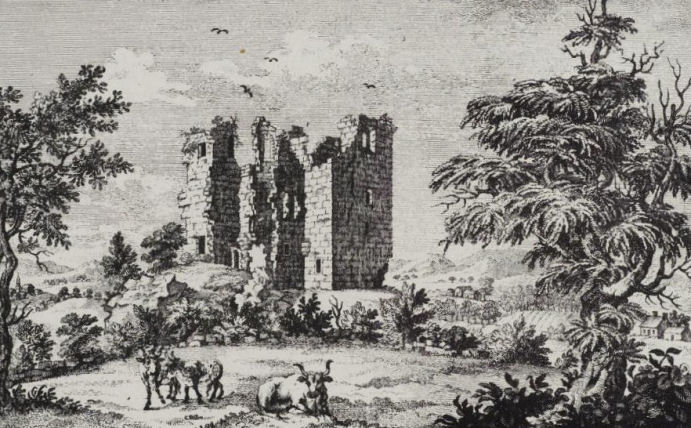
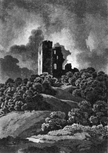
Crookston Castle sits high above Levern Water, downstream from the confluence with Brock Burn
Engraving of Crookston Castle
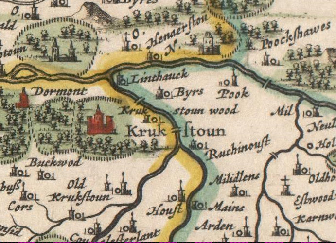
Old map from 1654, showing the area around Crookston Castle
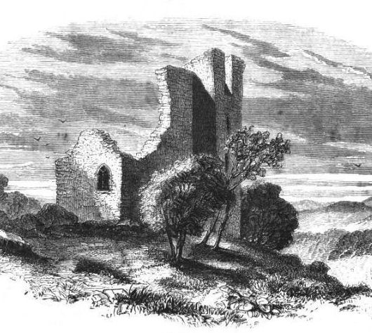
Another old engraving of Crookston Castle
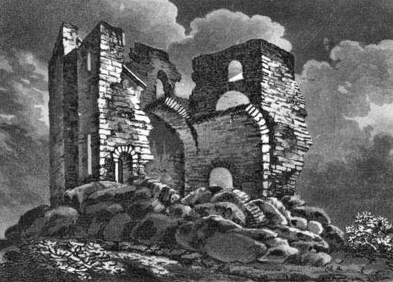
Engraving of Crookston Castle before restoration, showing arched masonry
Engraving of Crookston Castle from a distance
View of White Cart Water from footbridge at Linthaugh Road, looking back towards Pollok Country Park
Reflections on a calm White Cart Water, a short distance before the confluence with Levern Water
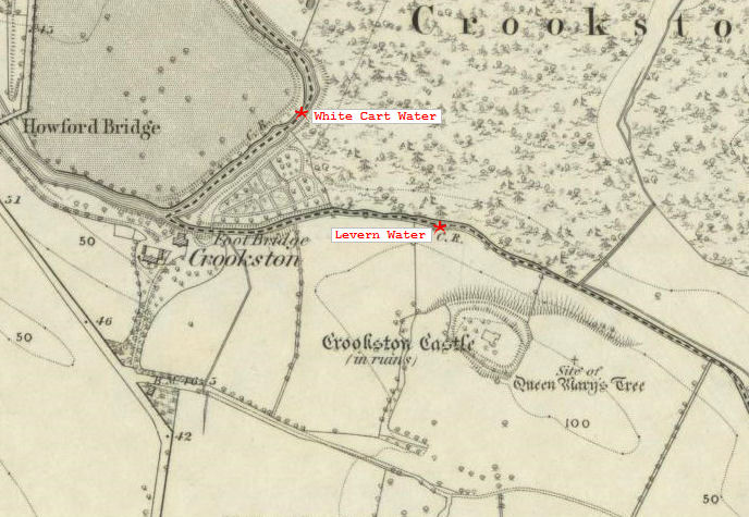
Old map showing the confluence of Levern Water and White Cart Water, west of Crookston Castle
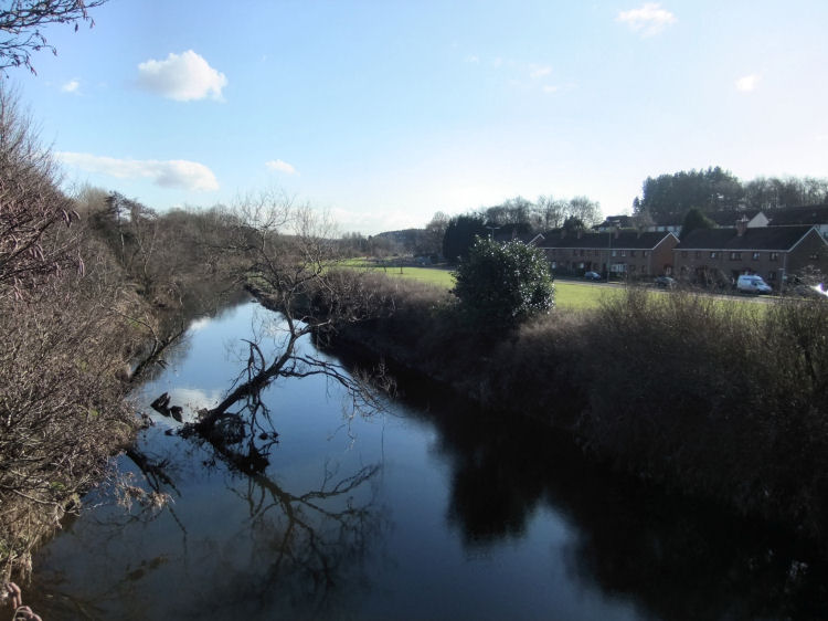
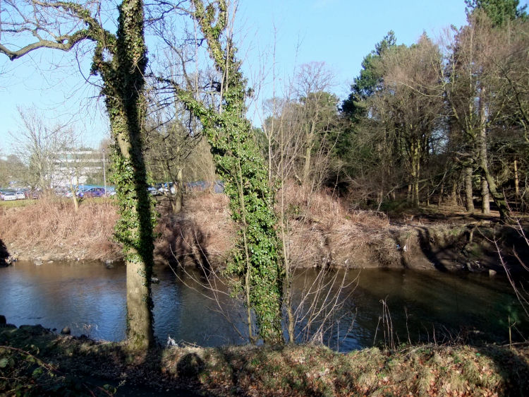
Confluence of Levern Water (left) and White Cart Water (right)
View of Ross Hall Hospital over White Cart Water, downstream from the confluence with Levern Water
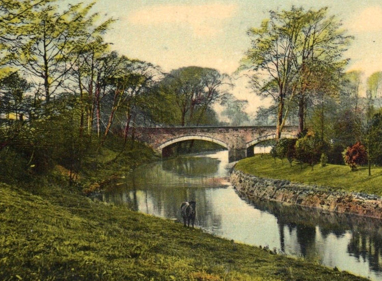
Old view of White Cart Water at Crookston Road
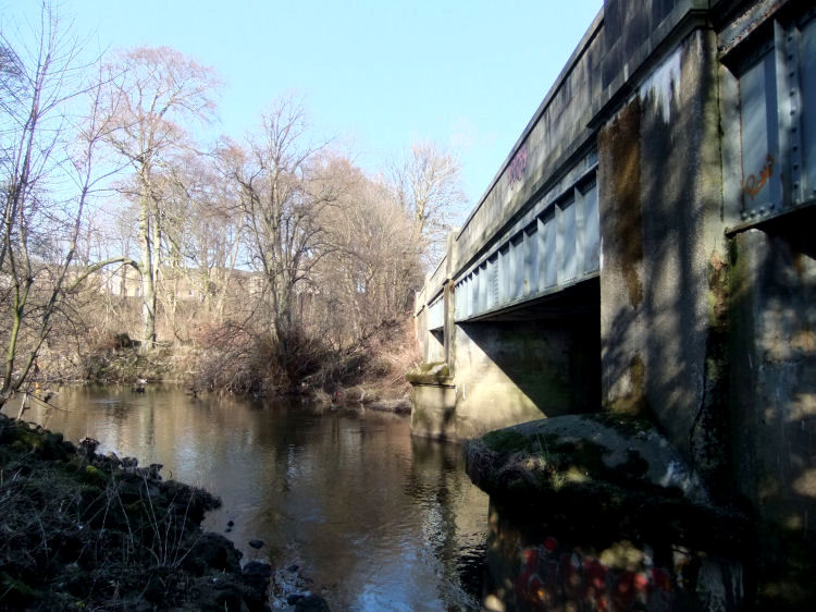
White Cart Water flowing under Howford Bridge at Crookston Road
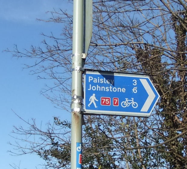
Sign at Howford Bridge for walkway and cycle path along the river bank
Small stream entering the White Cart at city boundary, with Glasgow (left) and Renfrewshire (right)
Looking back from Renfrewshire side of the stream entering White Cart Water at the city boundary
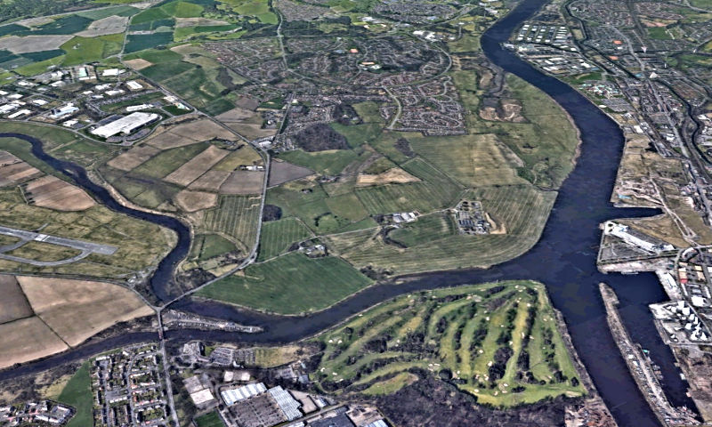
On leaving the city, the White Cart Water flows through Renfrewshire until it meets up with the Black Cart Water to form the River Cart, which is less than a mile long. The confluence of the Black and White Carts is close to the runway at Glasgow Airport, as seen in the photograph below. The Black Cart is in the upper part of the view, while the White Cart is in the lower portion. After the merger the newly formed River Cart flows a short distance northwards to enter the River Clyde opposite the shipyards of Clydebank.
Confluence of Black Cart Water and White Cart Water to form the River Cart, flowing towards the Clyde
The White Cart Water crosses the city boundary at Netherlee and flows through Glasgow's southeastern suburbs before its meanderings through Pollok
Country Park. This part of the river's course is illustrated in other pages of this website.
The Levern Water and Brock Burn join together close to Silverburn Shopping Centre to form an enlarged Levern Water, which joins the White Cart west of Crookston Castle.
The recharged White Cart then leaves the city, downstream from Leverndale Hospital, heading for Paisley and then on to the River Clyde.
![]()
|
|
| |
|
|
||
|
|
All original artwork, photography and text © Gerald Blaikie
Unauthorised reproduction of any image on this website is not permitted.
