
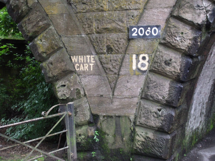
Entrance to Pollok Country Park at 2060 Pollokshaws Road, under the railway bridge
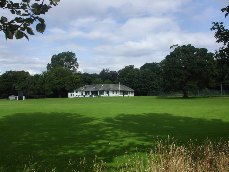
View of clubhouse and grounds of Poloc Cricket Club from riverside path
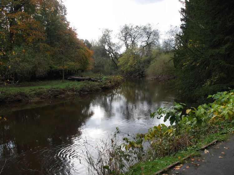
Slow moving stretch of White Cart Water at Pollok Country Park
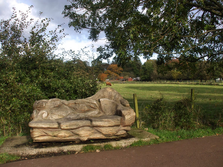
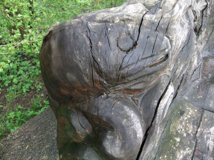
Park bench on riverside path, carved from old tree trunk
Fish head carved on rain-soaked park bench on riverside path
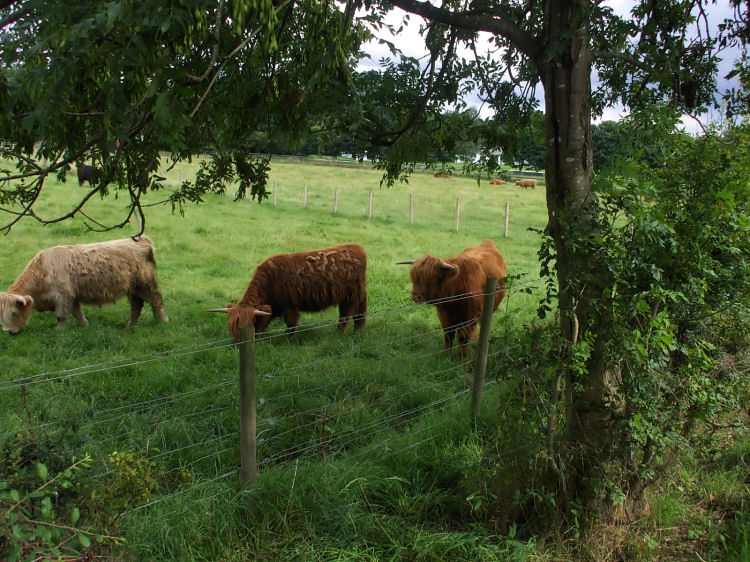
Highland Cattle grazing in Pollok Country Park
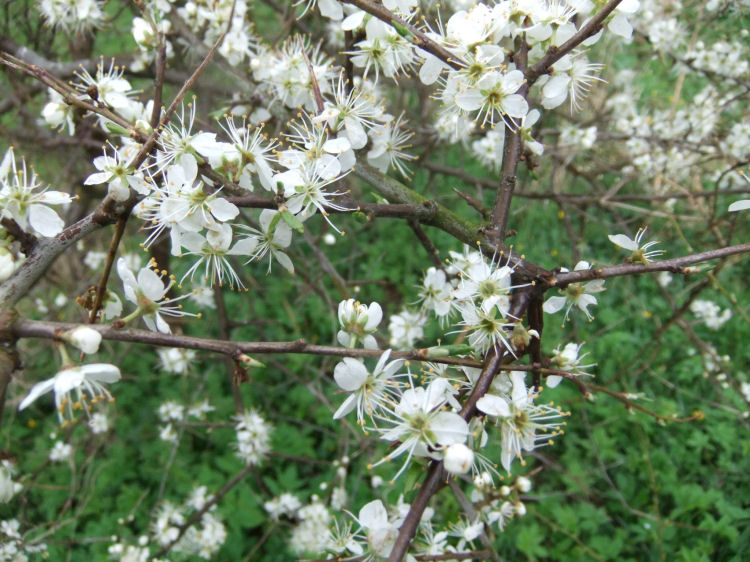
White springtime blossom growing at side of riverside path
1740's map of Pollok Estate showing the former settlement of Polloktoun, also known as Pooktoun or Pollok Town
The castle which was situated at the site of the stables was known as the 'Laigh' or Low Castle, seat of the Maxwells of Pollok. It is not to be confused with Pollok Castle in the parish of Mearns, Renfrewshire, seat of the Pollok family.
The Maxwells of Pollok were kinsfolk of the Maxwells of Caerlaverock, Dumfriesshire,
who had relocated to the parish of Eastwood, Renfrewshire, in the late thirteenth century.
The Maxwells were supporters of Mary Queen of Scots at the Battle of Langside on 13th May 1568.
After her escape from Lochleven and arrival at Hamilton, Mary sent this letter dated "ye 5th day of May 1568"
to "Ye Laird of Nether Pollok", seeking his backing. This letter is preserved in Pollok House along with
an oil portrait of the Queen.
Letter from Mary Queen of Scots to Sir John Maxwell of Pollok, prior to Battle of Langside
1850's map of Pollok Estate after Pollok House was built and the settlement at Polloktoun was removed
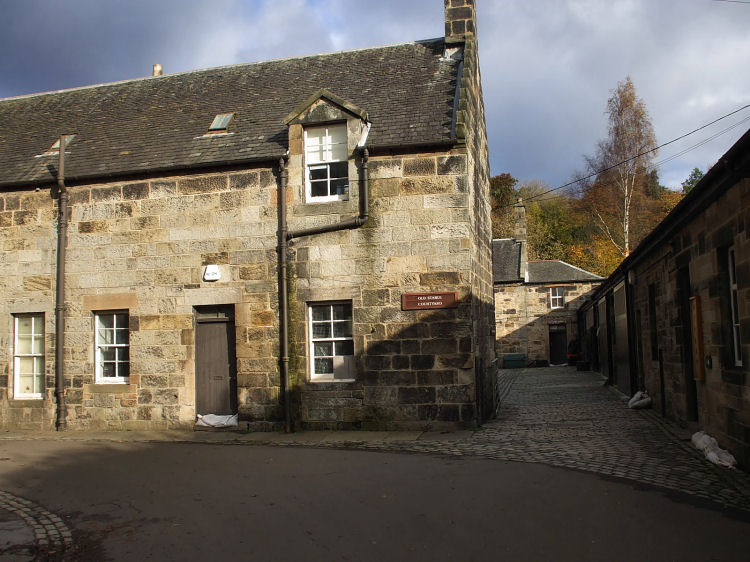
Entrance to Old Stable Courtyard on approaches to Pollok House
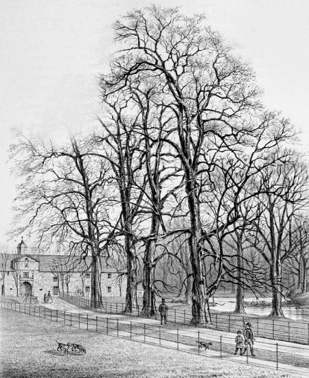
Engraving showing entrance to stables at Pollok House
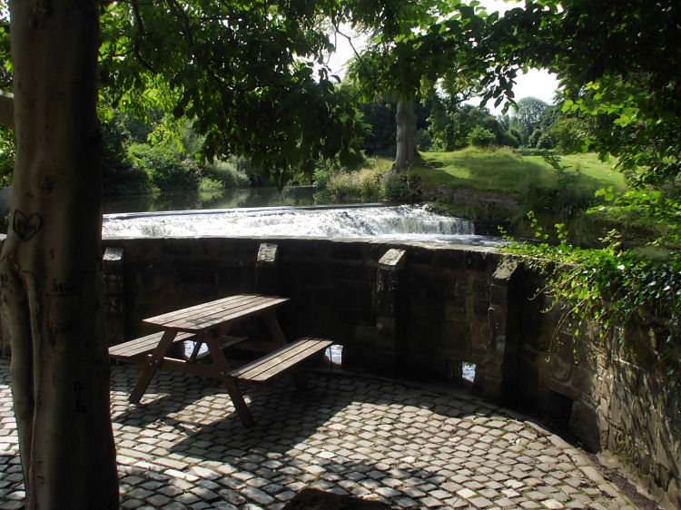
Picnic table at weir on White Cart Water
Winter sunshine on weir at White Cart Water
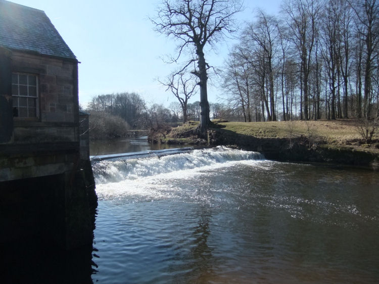
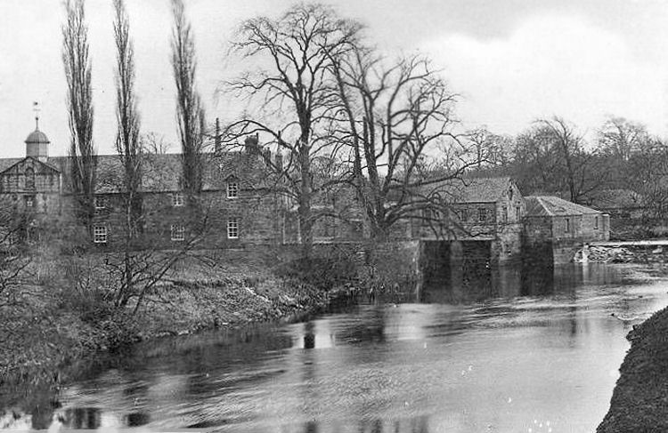
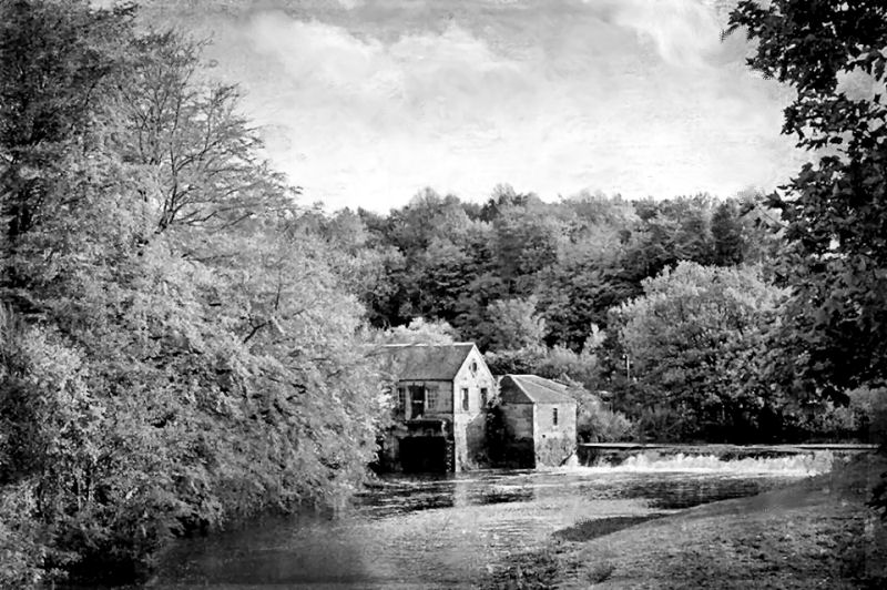
Old photograph of mill powered by White Cart Water, near Pollok House
Another photograph of working sawmill and weir near to Pollok House
Work on the construction of Pollok House had begun in 1752, four years after the death of its architect, William Adam.
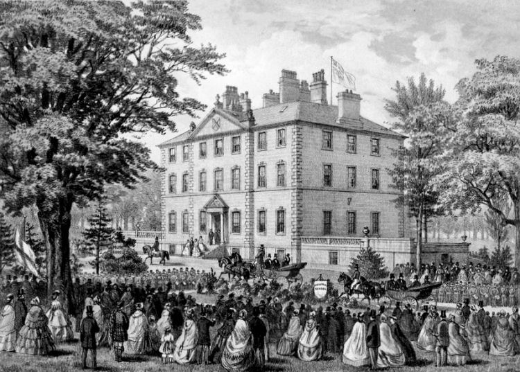
The erection of the house was supervised by his sons, John and Robert Adam. Engraving showing visit of Prince of Wales, Baron Renfrew, to Pollok House on 15th August, 1859
View of south fa�ade of Pollok House, facing the river
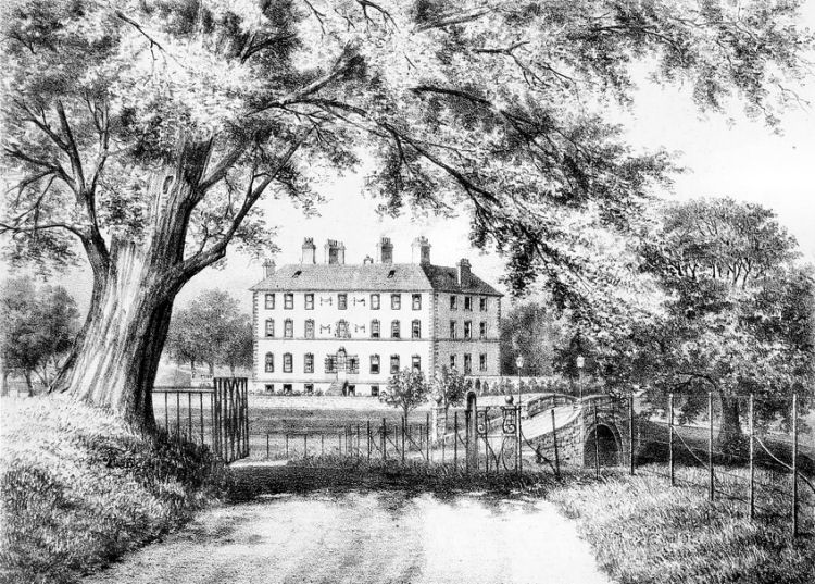
Engraving showing bridge and south fa�ade of Pollok House
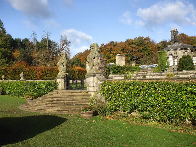
Lions guarding the gateway to Pollok House
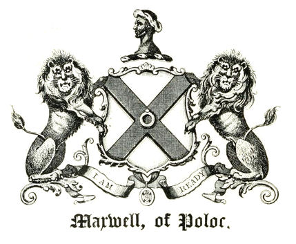
Lions feature in the arms of 'Maxwell of Poloc', along with a Turk's head
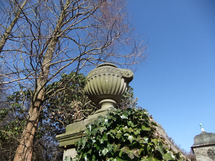
Stone urn at rear of Pollok House
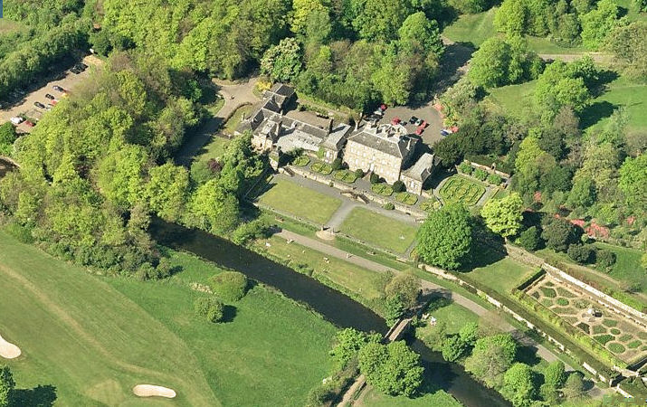
Aerial view of Pollok House and the site of Polloktoun, most of which is now part of Pollok Golf Course
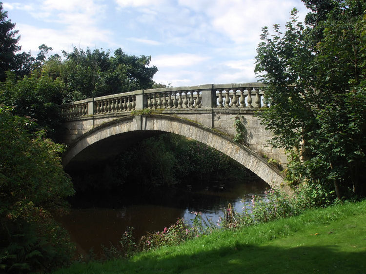
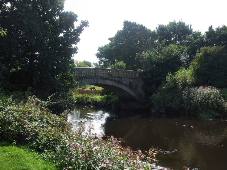
Stone bridge over White Cart Water at Pollok House
Ducks swimming along White Cart Water
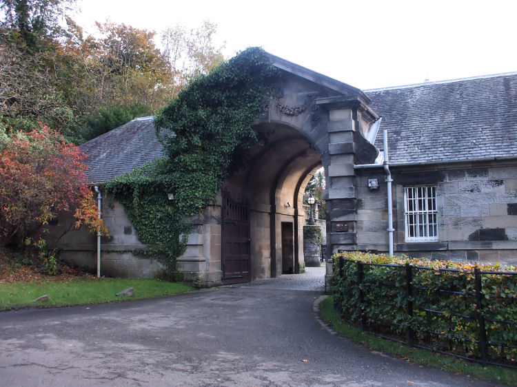
Archway at western approaches to Pollok House
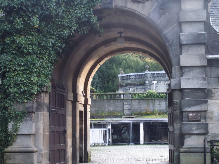
Light and shadow through the archway into the courtyard
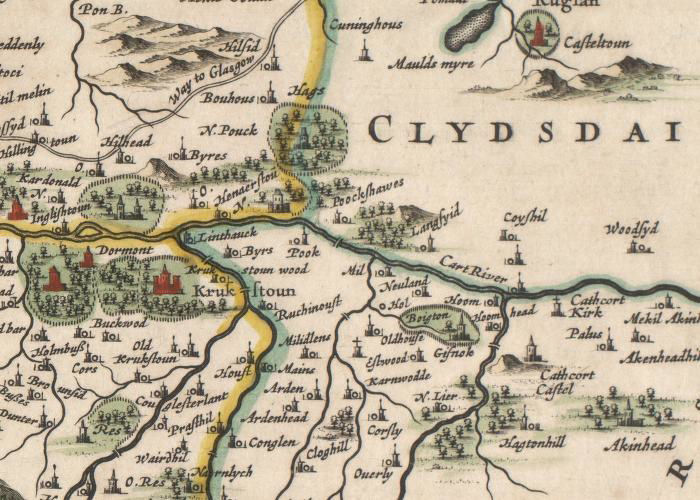
1654 map of the section of Renfrewshire from Crookston to Cathcart


The engraving below shows Pollok House in 1859, before the addition of the side wings at the end of the century.

![]()
|
|
| |
|
|
||
|
|
All original artwork, photography and text © Gerald Blaikie
Unauthorised reproduction of any image on this website is not permitted.
